CALL US: 717-919-0385
Hartech Engineering & Consulting, LLC
6025 Charlton Way Mechanicsburg, PA 17050 | Phone: 717-919-0385 | Fax: 717-828-1018
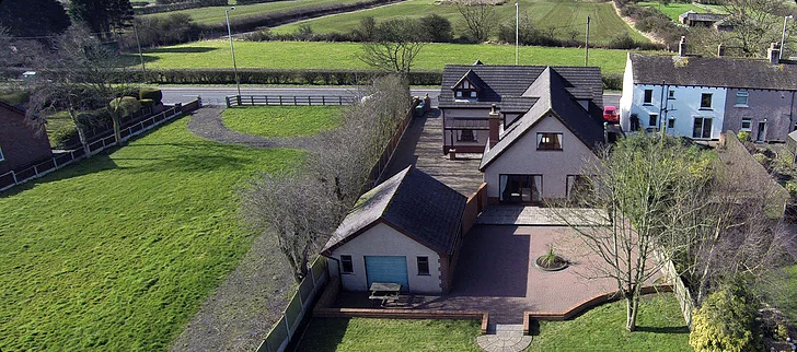
We are able to provide a variety of aerial mapping and photography services in support of your current or upcoming projects. The advent of high powered GPS based technology and digital data acquisition allows for the preparation of photogrammetry and photography that traditionally required expensive manned aircraft and crews in a smaller less expensive and lightweight platform.
Our fleet of small unmanned aircraft systems (UAS) can serve to provide an overhead view of your project for aerial photography, digital terrain data and modeling, aerial surveys and more. Such applications of this technology can include:

We are working on applying this technology to other needs met with traditional aerial services. Our pilots and aircraft are FAA Part 107 and Section 333 certificated and in addition to our standard umbrella policies, we carry per site/per flight insurance should the need arise.
Contact us today to see if our aerial services could enhance your project success!
Hartech Engineering & Consulting, LLC
6025 Charlton Way Mechanicsburg, PA 17050 | Phone: 717-919-0385 | Fax: 717-828-1018